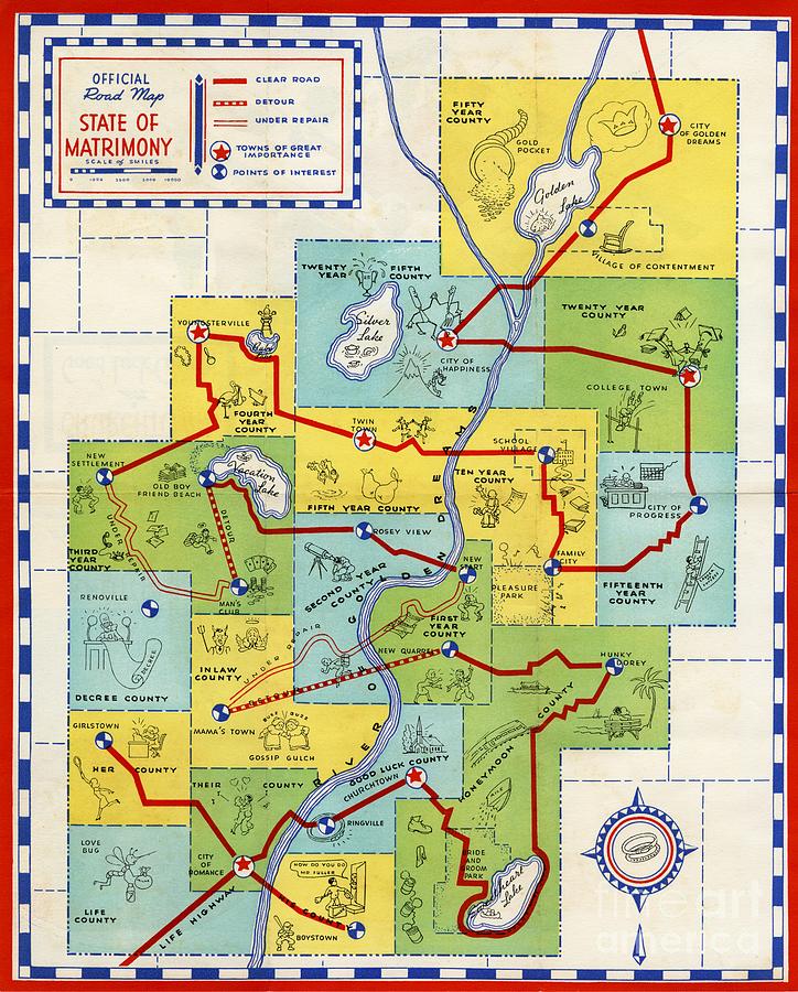
Official Road Map State of Matrimony - c.1950 is a piece of digital artwork by Vintage Map which was uploaded on November 6th, 2020.
Official Road Map State of Matrimony - c.1950
Amusing Cartoon Map depicting the State of Matrimony and the often errratic route taken along Life Highway as couples progress from the initial City... more

by Vintage Map
Title
Official Road Map State of Matrimony - c.1950
Artist
Vintage Map
Medium
Digital Art - Printed Map
Description
Amusing Cartoon Map depicting the State of Matrimony and the often errratic route taken along "Life Highway" as couples progress from the initial "City of Romance", via numerous detours and roads under repair, criss-crossing the River of Golden Dreams, to finally reach "Fifty Year County" with its "City of Golden Dreams" and "Village of Contentment". The map was originally published in the US in about 1950.
Uploaded
November 6th, 2020
More from This Artist
Comments
There are no comments for Official Road Map State of Matrimony - c.1950. Click here to post the first comment.


